
That's La Plagne contains affiliate links and is a member of the Amazon affiliate program. If you make a purchase using one of these links, I may receive a small commission - at no extra cost to you. I never recommend anything I haven't experienced myself, and the commission helps me keep this site running at full speed! See my Disclosure Policy for extra information.
La Plagne piste maps 2025/26: download all the maps you need before you ski
Planning a family ski holiday in La Plagne? Before you pack the thermals and ski passes, there’s one thing I always tell friends to do first: download the piste map.
Because there’s nothing worse than standing at the top of a run with fog rolling in, a cold toddler on your hip, and no idea where to go next. Trust me, I've lived it.
This updated 2025/26 guide to La Plagne and Paradiski piste maps will make sure you’re ready to navigate the slopes with confidence. Whether you're skiing for the first time or chasing down your teens, you'll find the links, downloads and insider advice to help your holiday run smoothly.
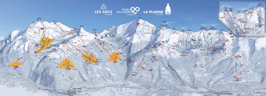
New 2025/26 La Plagne piste map
This is the map you’ll use most during your holiday. It covers the whole La Plagne ski area: from Plagne Centre to Belle Plagne, Champagny, Montchavin and beyond.
Since winter 2024, you will not find any more printed paper piste maps around La Plagne. You might have seen that La Plagne is moving forward and running as sustainably as possible, and was awarded the Flocon Vert. Printing piste maps is one of the things that has been assessed and removed from the resort operations.
So, you have a couple of options to save the La Plagne and Paradiski piste map:
- Open the digital copy by clicking on the photo below.
- Download a copy of the La Plagne piste map.
Top tips for families
- Screenshot your route before leaving the chalet (Wi-Fi on the hill can be patchy)
- Identify a meeting point for lunch in case you get separated
- Show kids where their ski school meets and where you'll be
- Check lift closing times for your return route
The first thing you need is this
Get my La Plagne deals straight to your inbox:
- Transfer codes
- Accommodation deals
- Ski lesson sales
- Ski hire offers
How to Use the Map: 5 Things to Check Before Your First Ski Day
1. Where your accommodation is in relation to the nearest lifts
Before you hit the slopes, find your accommodation on the map and trace the route to your nearest ski lift. Some chalets or apartments are genuinely ski-in/ski-out, while others may involve a short uphill walk with kids in boots. Knowing this in advance helps you plan your mornings better – and reduces meltdowns before you even click into your skis.
If you're staying in one of the higher villages like Belle Plagne or Aime 2000, lift access might be straightforward, but places like Plagne 1800 or Montchavin can have less direct routes. Use the map to check lift opening times and plan the most efficient way to start your ski day. If you need to catch a shuttle, knowing where the stop is in relation to your front door is also key.
2. Where kids are meeting ski school and how to get there on time
Most ski schools in La Plagne have specific meeting points, and they're not always right next to the main lifts. Some are tucked away near nursery slopes or in less obvious corners of the resort.
Check the map for the precise location and do a dry run the day you arrive. Leave plenty of time in the mornings – ski boots are slow going for little legs, and you don’t want to start the day stressed. If your chalet or apartment is in a different village from the ski school base, you'll need to plan how long the connection takes. Some ski schools require you to ski to the meeting point, which means at least one adult in your group needs to be geared up early and ready to accompany the kids.
3. Where you'll have lunch (avoid peak time queues!)
Lunch is often when the whole mountain converges on the same few restaurants at once. Use the piste map to scout out quieter, family-friendly spots a little off the main drag. Look for places near gentle runs or beside ski school zones – ideal if you're meeting the kids halfway through the day.
I always advise parents to book lunch if you can or eat early (11:45) or late (after 13:30) to dodge the worst of the queues. Some picnic spots are marked on the map too, so you can plan ahead if you prefer a DIY sandwich stop. Knowing where you want to eat in advance also helps structure your ski route – so you're not zig-zagging across the resort in a hangry panic.
4. Your route home – lift closures catch people out daily
Lift closing times are not the same across the mountain. You might be miles from your village when that crucial chairlift shuts, and suddenly you’re facing a long uphill hike, a taxi, or worse – an exhausted child who just wants hot chocolate. Before you set off for the day, use the map to trace your return route and note any lifts you must be on by a certain time.
I like to set a “turnaround time” on my phone as a reminder to start heading back. If you’re skiing as a group, make sure everyone knows the plan. The map is your best friend here: it shows lift times, directional flows and cut-throughs that can save your legs (and your sanity).
5. Where the green and blue runs are for warm-up laps or tired legs
Whether you're skiing with beginners or just want to ease into the day, knowing where the gentle runs are is a game changer. Use the map to identify the green and blue pistes near your accommodation or ski school zone. These are perfect for warm-up laps in the morning or for regrouping later in the day when the kids get tired.
In La Plagne, not all blues are created equal – some are wide cruisers, others are narrow tracks – so having a quick scan of the map helps you make better choices. You can also use it to avoid steeper reds that might feel manageable in the morning but turn icy and intimidating by mid-afternoon.
Other useful La Plagne maps: walking and hiking trails
There is a vast network of walking trails throughout La Plagne. It's a great way to explore the resort without your skis. Both in winter and in summer.
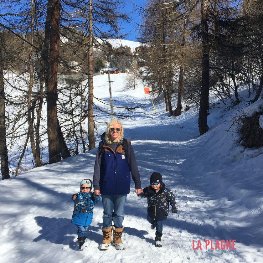
Always check on the day that the walking trails are open, especially after heavy snow or rain.
And if you want to learn about the La Plagne 6000D trail running event every summer, check out my review for everything you need to know.
La Plagne vs Paradiski Ski Regions
La Plagne is actually a collection of 10 smaller villages. The altitude villages:
- La Roche, Plagne Centre, Aime 2000, Plagne 1800, Plagne Villages, Plagne Soleil, Bellecôte and Belle Plagne
and then the valley villages:
- Montchavin/Les Coches and Mont Albert.
As I said above, the Paradiski area is a combination of the whole La Plagne area and the Les Arcs area. In winter, the 2 resorts are connected by the Vanoise Express. In the summer, you need to use the roads to get from one resort to another.
La Plagne Village Maps
Here you can find all the maps of the La Plagne village for each of the different La Plagne villages. You can use the digital PDF or download it and save it for when you need it.
La Plagne cross country trails
If you fancy trying some cross-country skiing, head to the designated trails and routes to enjoy the La Plagne winter ski resort.
LA PLAGNE CROSS COUNTRY MAPS
LA PLAGNE WINTER SKI TOURING MAPS
La Plagne parking
There is some free parking along the roads throughout the different La Plagne villages, BUT it is limited. Check with your accommodation provider to see if there is parking included in the booking or if they have a space available that you can pay for – usually the best and most reasonable option.
If you don't have parking included in your accommodation, then you need to find out more about the La Plagne car parks available to you. There are several paid public car parks, often underground. In the winter, they are approx. 72€ per car, per week. And in summer, they are free.
There is also a motorhome car park in Plagne Villages. The Bergerie chairlift crosses over it. This popular post about the La Plagne motorhome car park has all the info you need and a booking form.
Check out the La Plagne Parking map to see what's available for you.
Summer bike trails
La Plagne has multiple options for your biking fun. Look at the marked mountain bike trails “Bike Park”. Or explore the winder area with Ebike routes.
Of course, road biking is an option too…just use the roads!
There are routes and trails available for all ages and abilities, and it's an amazing way to explore the mountains.
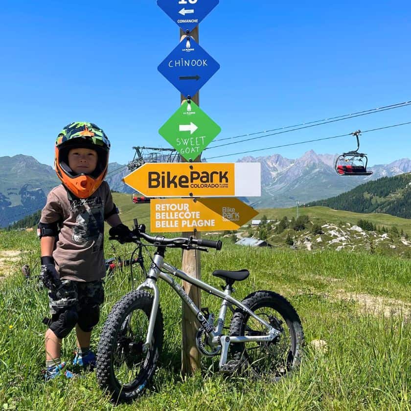
Honestly, I've skied La Plagne for over a decade and was blown away by how different the mountains were flying down them on a bike.
You can find out all about the La Plagne bike park and then more information on how to get into mountain biking in La Plagne.
La Plagne Mountain Bike Pistes
La Plagne Bike Routes
All the La Plagne maps you need!
What else do you want to know?
You can find links below to all my different information pages. BUT if there is something specific you want to know, then leave me a comment below 👇 I'll do my best to find the answer for you.
Pin this post & save for later!


5 Comments